

Tam çözünürlük ((1.580 × 1.351 piksel, dosya boyutu: 1,1 MB, MIME tipi: image/jpeg))
India
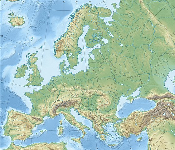
| AçıklamaEurope relief laea location map.jpg | Deutsch: Physische Positionskarte Europa; Flächentreue Azimutalprojektion English: Physical location map Europe; Lambert azimuthal equal-area projection
|
| Tarih | |
| Kaynak | Yükleyenin kendi çalışması
|
| Yazar | Alexrk2 |
| Diğer sürümler | Bu dosyanın türev çalışmaları:
[değiştir]
|
 | This map has been made or improved in the German Kartenwerkstatt (Map Lab). You can propose maps to improve as well. azərbaycanca ∙ čeština ∙ Deutsch ∙ Deutsch (Sie-Form) ∙ English ∙ español ∙ français ∙ italiano ∙ latviešu ∙ magyar ∙ Nederlands ∙ Plattdüütsch ∙ polski ∙ português ∙ română ∙ sicilianu ∙ slovenščina ∙ suomi ∙ македонски ∙ русский ∙ ქართული ∙ հայերեն ∙ বাংলা ∙ ไทย ∙ +/− |
Dosyanın herhangi bir zamandaki hâli için ilgili tarih/saat kısmına tıklayın.
| Tarih/Saat | Küçük resim | Boyutlar | Kullanıcı | Yorum | |
|---|---|---|---|---|---|
| güncel | 22.29, 4 Temmuz 2018 | | 1.580 × 1.351 (1,1 MB) | Subtropical-man | Reverted to version as of 22:56, 20 August 2012 (UTC) |
| 17.54, 2 Temmuz 2018 |  | 1.580 × 1.351 (821 KB) | 1970gemini | fiat lux | |
| 22.56, 20 Ağustos 2012 |  | 1.580 × 1.351 (1,1 MB) | McZusatz | Reverted to version as of 10:53, 14 March 2010 (...thumb fixed?) | |
| 22.55, 20 Ağustos 2012 |  | 120 × 103 (4 KB) | McZusatz | fixing thumb... | |
| 10.53, 14 Mart 2010 |  | 1.580 × 1.351 (1,1 MB) | Alexrk2 | == Summary == {{Information |Description= {{de|Physische Positionskarte Europa; Flächentreue Azimutalprojektion}} {{en|Physical location map Europe; Lambert azimuthal equal-area projection}} * Projection: LAEA Europe, [http: |
Bu görüntü dosyasına bağlantısı olan sayfalar:
Aşağıdaki diğer vikiler bu dosyayı kullanır:
Bu dosyanın daha fazla küresel kullanımını görüntüle.


.svg)


_ru.svg)