

Original file (SVG file, nominally 1,108 × 1,345 pixels, file size: 366 KB)
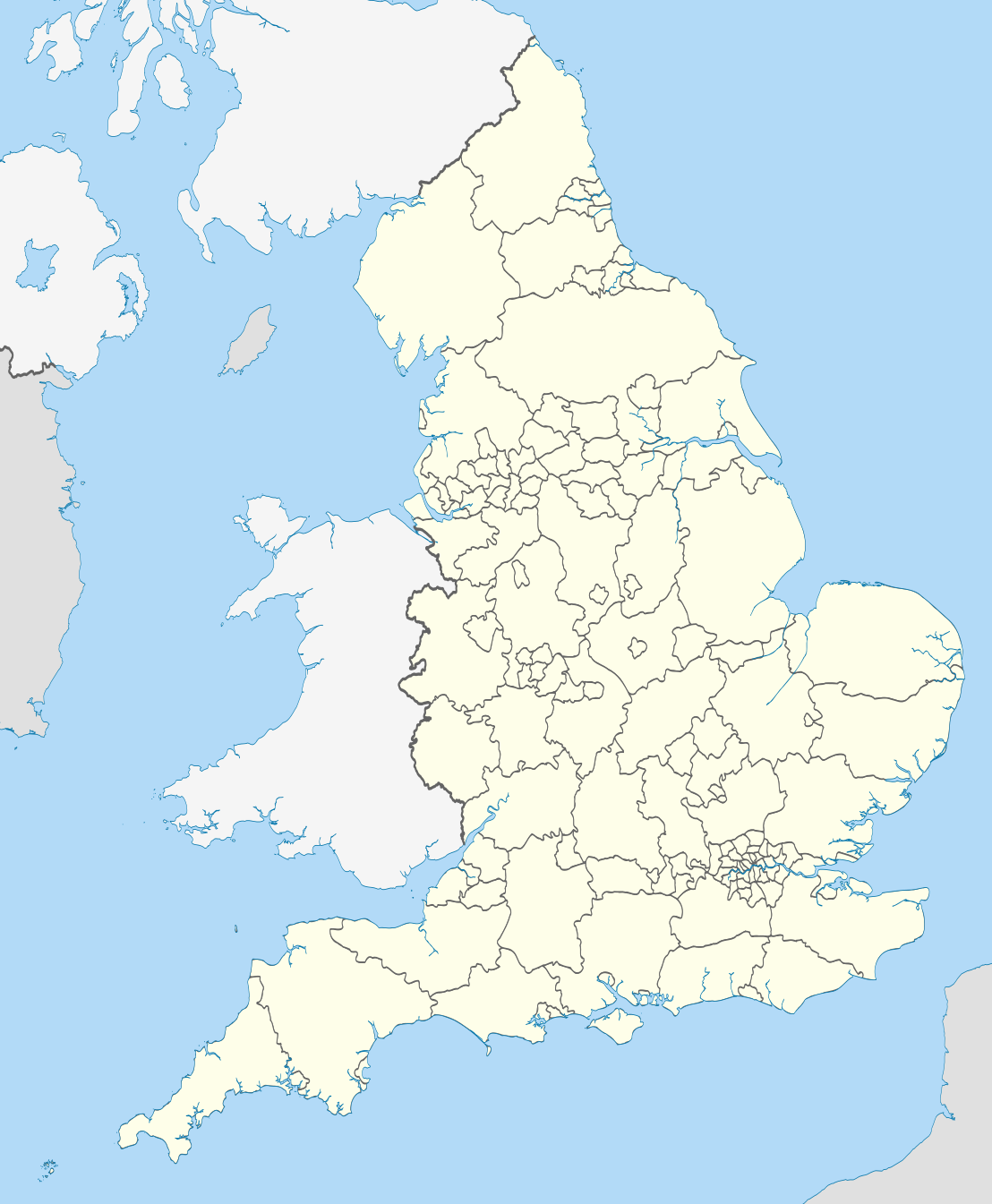
| DescriptionEnglish administrative divisions 2010.svg | Map showing the all top-tier administrative subdivisions of England (shire counties, metropolitan counties, London boroughs and Unitary Authorities) in 2010 Equirectangular map projection on WGS 84 datum, with N/S stretched 170% Geographic limits:
|
| Date | |
| Source |
National Geospatial-Intelligence Agency
|
| Author | Nilfanion |
| Other versions | Derivative works of this file: |
 | Permission is granted to copy, distribute and/or modify this document under the terms of the GNU Free Documentation License, Version 1.2 or any later version published by the Free Software Foundation; with no Invariant Sections, no Front-Cover Texts, and no Back-Cover Texts. A copy of the license is included in the section entitled GNU Free Documentation License.http://www.gnu.org/copyleft/fdl.htmlGFDLGNU Free Documentation Licensetruetrue |
Click on a date/time to view the file as it appeared at that time.
| Date/Time | Thumbnail | Dimensions | User | Comment | |
|---|---|---|---|---|---|
| current | 22:02, 23 November 2010 | | 1,108 × 1,345 (366 KB) | Nilfanion | England only |
| 22:00, 23 November 2010 |  | 1,108 × 1,345 (401 KB) | Nilfanion | {{Information |Description=Map showing the all top-tier administrative subdivisions of England (shire counties, metropolitan counties, London boroughs and Unitary Authorities) in 2010 Equirectangular map projection on WGS 84 datum, with N/S stretched 170 |