

Original file (SVG file, nominally 1,444 × 1,067 pixels, file size: 1.27 MB)
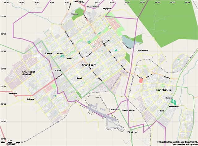
| DescriptionChandigarh Tricity.svg | English: Location map for the Chandigarh Tricity, including Chandigarh UT, SAS Nagar, Panchkula and Zirakpur. |
| Date | |
| Source | OpenStreetMap.org (using Maperitive to create SVG file) |
| Author | Cropping by RaviC, OSM authors for map data |
| Camera location | 30° 45′ 00″ N, 76° 46′ 48″ E | View this and other nearby images on: OpenStreetMap |
|---|
| This work contains information from OpenStreetMap, which is made available under the Open Database License (ODbL). The ODbL does not require any particular license for maps produced from ODbL data. Prior to 1 August 2020, map tiles produced by the OpenStreetMap Foundation were licensed under the CC-BY-SA-2.0 license. Maps produced by other people may be subject to other licences.Open Database LicenseODbLhttp://opendatacommons.org/licenses/odbl/1.0/true |
Click on a date/time to view the file as it appeared at that time.
| Date/Time | Thumbnail | Dimensions | User | Comment | |
|---|---|---|---|---|---|
| current | 17:01, 20 March 2021 | | 1,444 × 1,067 (1.27 MB) | RaviC | fixed Zirakpur |
| 14:23, 11 June 2014 |  | 1,444 × 1,067 (1.16 MB) | RaviC | User created page with UploadWizard |
The following other wikis use this file:
This file contains additional information, probably added from the digital camera or scanner used to create or digitize it.
If the file has been modified from its original state, some details may not fully reflect the modified file.
| Short title | Map Generated Using Maperitive (http://maperitive.net) |
|---|---|
| Image title | Map Generator: Maperitive v2.3.32 by Igor BrejcTime: 06/11/2014 15:42:58 |
| Width | 1444.23 |
| Height | 1067.06 |