

Původní soubor (2 127 × 1 723 pixelů, velikost souboru: 2,04 MB, MIME typ: image/jpeg)
| PopisCanada British Columbia relief location map.jpg | Quadratische Plattkarte, N-S-Streckung 170 %. Geographische Begrenzung der Karte:
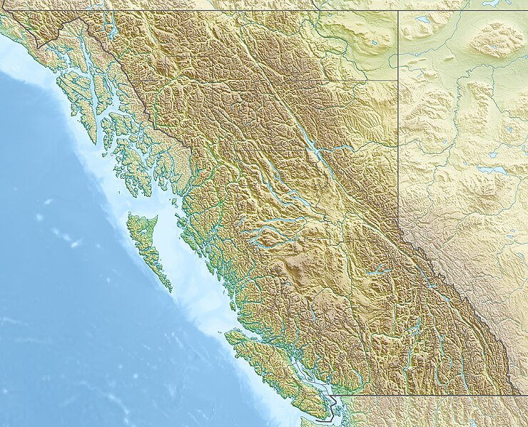
Equirectangular projection, N/S stretching 170 %. Geographic limits of the map:
|
| Datum | |
| Zdroj | Vlastní dílo, using
|
| Autor | Carport |
| Svolení (Užití tohoto souboru) | Tento soubor podléhá licenci Creative Commons Uveďte autora-Zachovejte licenci 3.0 Unported.
|
| Další verze |
|
Kliknutím na datum a čas se zobrazí tehdejší verze souboru.
| Datum a čas | Náhled | Rozměry | Uživatel | Komentář | |
|---|---|---|---|---|---|
| současná | 30. 11. 2012, 18:38 | | 2 127 × 1 723 (2,04 MB) | Carport | {{Information |Description= {{de|Physische Positionskarte von British Columbia, Kanada}} Quadratische Plattkarte, N-S-Streckung 170 %. Geographische Begrenzung der Karte: * N: 60.3° N * S: 48.1° N * W: 139.3° ... |
Tento soubor používá následujících 14 stránek:
Tento soubor využívají následující wiki:
Zobrazit další globální využití tohoto souboru.
