Zinat (Also known as Sebt zinat constituency/ in Arabic جماعة سبت الزينات, Berber ⵣⵉⵏⴰⵜ) is a village in northern Morocco, situated 50 kilometres east of the city of Tangier, 20 south of the city of Tétouan. It is also home to Ibn Battuta Dam (سد إبن بطوطة) which provides the city of Tangier with drinking water.

Sebt Zinat
Sebt Zinat is located in Morocco
Sebt Zinat
Sebt Zinat
Location in Morocco
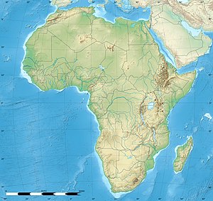
Sebt Zinat is located in Africa
Sebt Zinat
Sebt Zinat
Sebt Zinat (Africa)
Coordinates: 35°26′N 5°24′W / 35.433°N 5.400°W / 35.433; -5.400
Country Morocco
RegionTanger-Tetouan-Al Hoceima
Time zoneUTC+0 (WET)
 • Summer (DST)UTC+1 (WEST)

35°39′N 5°43′W / 35.650°N 5.717°W / 35.650; -5.717

🔥 Top keywords: Main PageSpecial:SearchPage 3Wikipedia:Featured picturesHouse of the DragonUEFA Euro 2024Bryson DeChambeauJuneteenthInside Out 2Eid al-AdhaCleopatraDeaths in 2024Merrily We Roll Along (musical)Jonathan GroffJude Bellingham.xxx77th Tony AwardsBridgertonGary PlauchéKylian MbappéDaniel RadcliffeUEFA European Championship2024 ICC Men's T20 World CupUnit 731The Boys (TV series)Rory McIlroyN'Golo KantéUEFA Euro 2020YouTubeRomelu LukakuOpinion polling for the 2024 United Kingdom general electionThe Boys season 4Romania national football teamNicola CoughlanStereophonic (play)Gene WilderErin DarkeAntoine GriezmannProject 2025