
View_along_the_coast_towards_Ligger_Point_from_Penhale_Sands_-_geograph.org.uk_-_780192.jpg (640 × 480 pixels, file size: 48 KB, MIME type: image/jpeg)
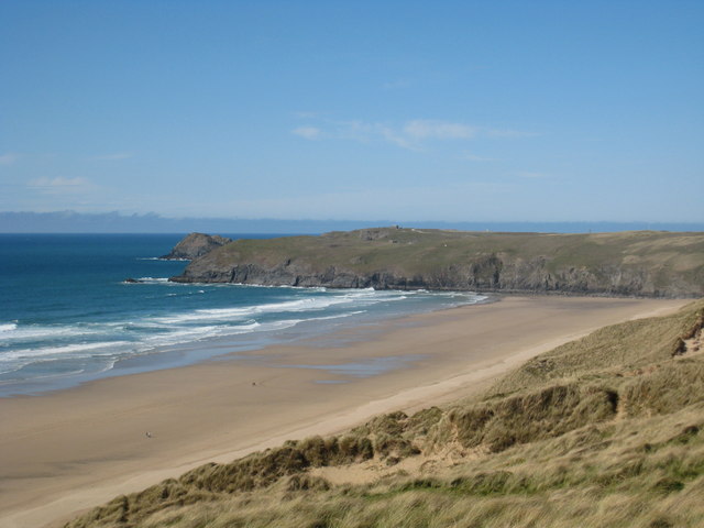
| DescriptionView along the coast towards Ligger Point from Penhale Sands - geograph.org.uk - 780192.jpg | English: View along the coast towards Ligger Point from Penhale Sands |
| Date | |
| Source | From geograph.org.uk |
| Author | Rod Allday |
| Attribution (required by the license) InfoField | Rod Allday / View along the coast towards Ligger Point from Penhale Sands / |
InfoField | Rod Allday / View along the coast towards Ligger Point from Penhale Sands |
| Camera location | 50° 21′ 44″ N, 5° 08′ 59″ W | View this and other nearby images on: OpenStreetMap |
|---|
| Object location | 50° 22′ 10″ N, 5° 09′ 01″ W | View this and other nearby images on: OpenStreetMap |
|---|
Click on a date/time to view the file as it appeared at that time.
| Date/Time | Thumbnail | Dimensions | User | Comment | |
|---|---|---|---|---|---|
| current | 02:58, 20 February 2011 | | 640 × 480 (48 KB) | GeographBot | == {{int:filedesc}} == {{Information |description={{en|1=View along the coast towards Ligger Point from Penhale Sands}} |date=2008-04-27 |source=From [http://www.geograph.org.uk/photo/780192 geograph.org.uk] |author=[http://www.geograph.org.uk/profile/229 |
The following other wikis use this file:
This file contains additional information, probably added from the digital camera or scanner used to create or digitize it.
If the file has been modified from its original state, some details may not fully reflect the modified file.
| _error | 0 |
|---|
_heading:0.00&language=en)
_heading:0.00&language=en)