

Original file (5,000 × 3,800 pixels, file size: 4.44 MB, MIME type: image/jpeg)
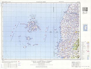
| DescriptionTxu-oclc-6557994-index-451.jpg | English: Tawian AMS Topographic Maps |
| Date | 1950s date QS:P,+1950-00-00T00:00:00Z/8 |
| Source | Courtesy of the University of Texas Libraries, The University of Texas at Austin. ([1]) |
| Author | Army Map Service, Corps of Engineers |

| Public domainPublic domainfalsefalse |
This image or file is a work of a U.S. Army Corps of Engineers soldier or employee, taken or made as part of that person's official duties. As a work of the U.S. federal government, the image is in the public domain. English | italiano | Nederlands | پښتو | русский | sicilianu | slovenščina | Türkçe | українська | +/− |
Click on a date/time to view the file as it appeared at that time.
| Date/Time | Thumbnail | Dimensions | User | Comment | |
|---|---|---|---|---|---|
| current | 07:18, 13 September 2019 | | 5,000 × 3,800 (4.44 MB) | Geographyinitiative | User created page with UploadWizard |
The following other wikis use this file:
![[1]](http://legacy.lib.utexas.edu/maps/ams/taiwan/txu-oclc-6557994-nf50-4-450.jpg)