
Original file (493 × 700 pixels, file size: 386 KB, MIME type: image/png)
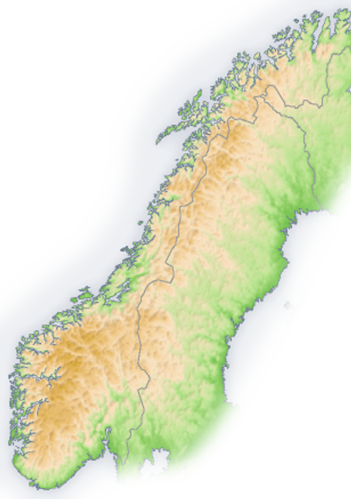
| DescriptionScandinavia-mountains.png | English: Topographic map of the Scandinavian Mountains. | |||
| Date | 29 January 2007 (upload date) | |||
| Source |
| |||
| Author | San Jose |
The map has been created with the Generic Mapping Tools: https://www.generic-mapping-tools.org/ using one or more of these public-domain datasets for the relief: বাংলা ∙ English ∙ español ∙ français ∙ italiano ∙ 日本語 ∙ македонски ∙ sicilianu ∙ 中文(简体) ∙ 中文(繁體) ∙ +/− |
 | Permission is granted to copy, distribute and/or modify this document under the terms of the GNU Free Documentation License, Version 1.2 or any later version published by the Free Software Foundation; with no Invariant Sections, no Front-Cover Texts, and no Back-Cover Texts. A copy of the license is included in the section entitled GNU Free Documentation License.http://www.gnu.org/copyleft/fdl.htmlGFDLGNU Free Documentation Licensetruetrue |
| This file is licensed under the Creative Commons Attribution-Share Alike 3.0 Unported license. | ||
| ||
| This licensing tag was added to this file as part of the GFDL licensing update.http://creativecommons.org/licenses/by-sa/3.0/CC BY-SA 3.0Creative Commons Attribution-Share Alike 3.0truetrue |
Click on a date/time to view the file as it appeared at that time.
| Date/Time | Thumbnail | Dimensions | User | Comment | |
|---|---|---|---|---|---|
| current | 00:53, 29 January 2007 | | 493 × 700 (386 KB) | Jeroen | Source: Based on Image:Europe topography map.png ==Licence== {{GFDL-GMT}} Category:Topographic maps Category:Maps of Europe Category:Maps of mountains |
The following other wikis use this file:
View more global usage of this file.
