
Original file (4,400 × 5,800 pixels, file size: 3.39 MB, MIME type: image/jpeg)
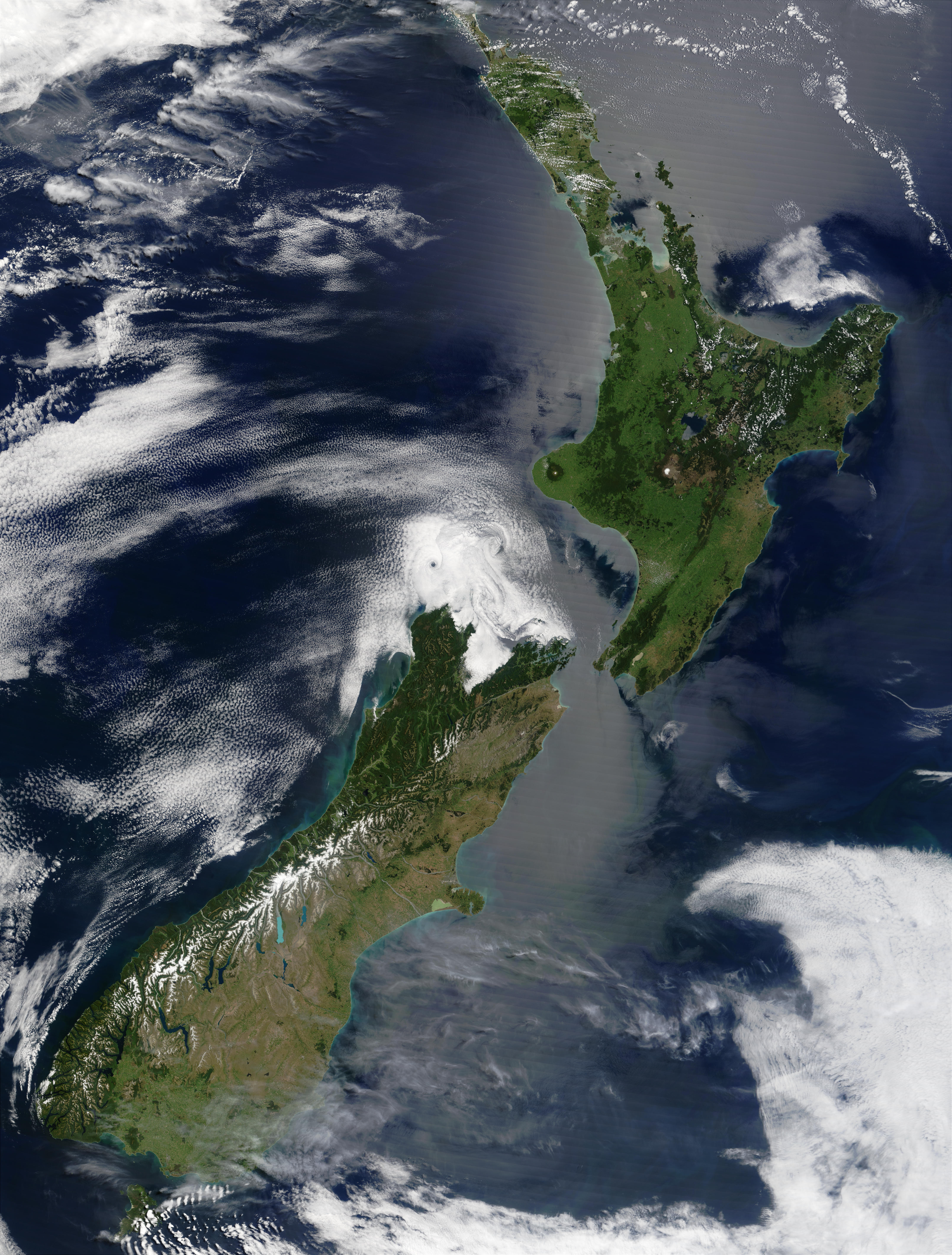
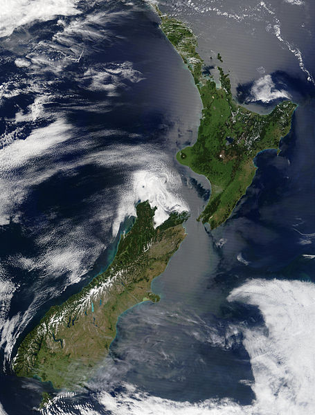
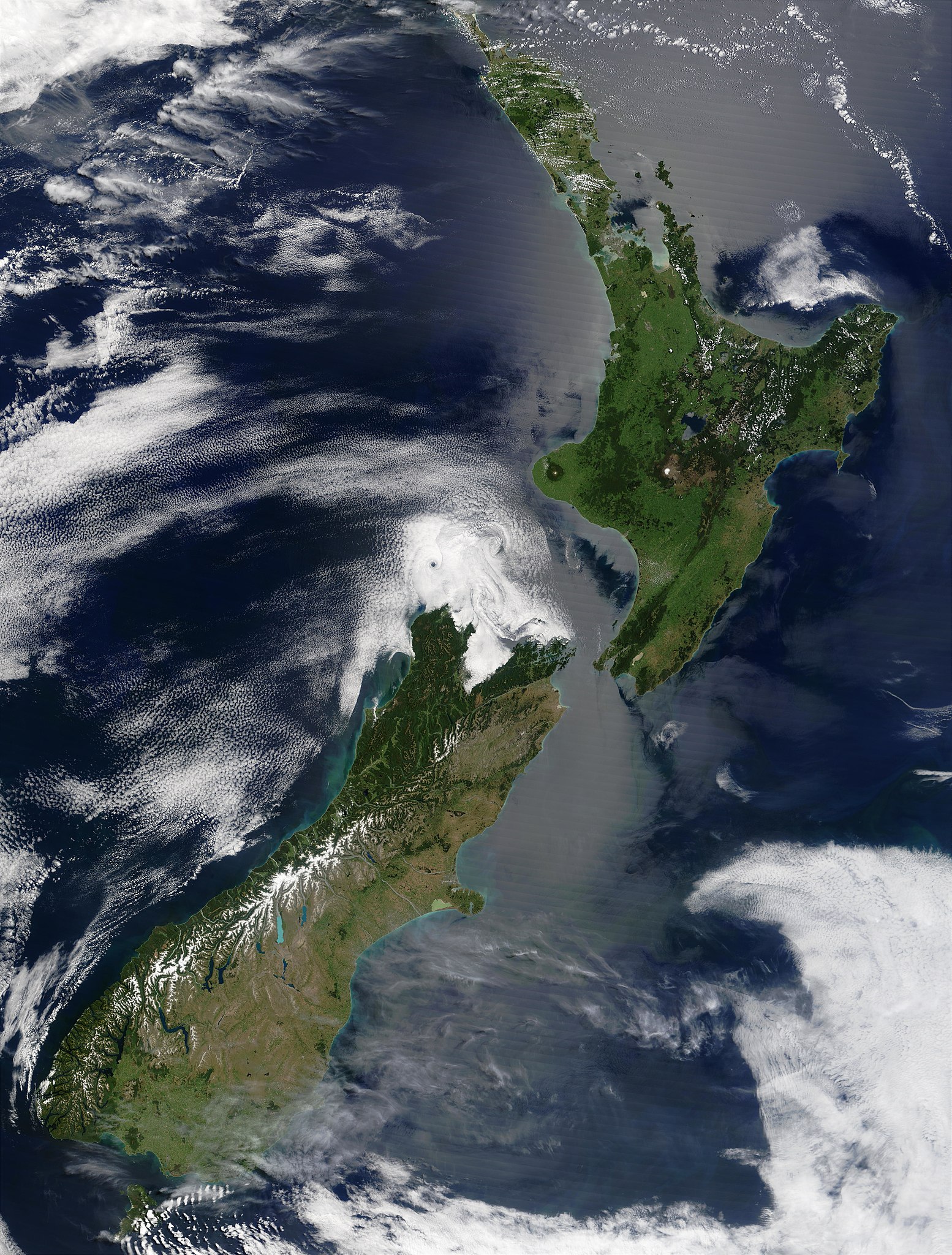
| DescriptionSatellite image of New Zealand in December 2002.jpg | English: Satellite image of New Zealand in December 2002. NASA's description:
|
| Date | |
| Source | Taken from NASA's Visible Earth: [1] |
| Author | Jacques Descloitres, MODIS Land Rapid Response Team at NASA GSFC |
| Public domainPublic domainfalsefalse |
| This file is in the public domain in the United States because it was solely created by NASA. NASA copyright policy states that "NASA material is not protected by copyright unless noted". (See Template:PD-USGov, NASA copyright policy page or JPL Image Use Policy.) | ||
 | Warnings:
|
Click on a date/time to view the file as it appeared at that time.
| Date/Time | Thumbnail | Dimensions | User | Comment | |
|---|---|---|---|---|---|
| current | 15:51, 3 May 2005 | | 4,400 × 5,800 (3.39 MB) | Hautala | {{PD-USGov-NASA}} Satellite image of New Zealand in December 2002. NASA's description: :These stunning true-color images provide a rare, cloud-free look at the island nation of New Zealand, including most of its North and South Islands. This scene was ac |
The following other wikis use this file:
This file contains additional information, probably added from the digital camera or scanner used to create or digitize it.
If the file has been modified from its original state, some details may not fully reflect the modified file.
| _error | 0 |
|---|