Size of this preview: 800 × 463 pixels. Other resolutions: 320 × 185 pixels | 640 × 370 pixels | 875 × 506 pixels.
Original file (875 × 506 pixels, file size: 121 KB, MIME type: image/jpeg)
Summary
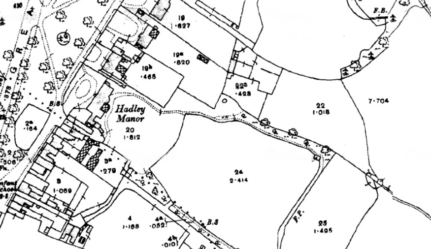
| Description | English: Hadley Manor map 1910s. | |||
| Date | 1910s | |||
| Source | Scan of original | |||
| Author | Ordnance Survey | |||
| Permission (Reusing this file) |
|

File history
Click on a date/time to view the file as it appeared at that time.
| Date/Time | Thumbnail | Dimensions | User | Comment | |
|---|---|---|---|---|---|
| current | 21:53, 15 October 2016 | | 875 × 506 (121 KB) | Philafrenzy | {{Information |Description ={{en|1=Hadley Manor map 1910s.}} |Source =Scan of original |Author =Ordnance Survey |Date =1910s |Permission ={{PD-UKGov}} |other_versions = }} Category:Street maps of London |
File usage
The following pages on the English Wikipedia use this file (pages on other projects are not listed):
Metadata
🔥 Top keywords: Main PageSpecial:SearchPage 3Wikipedia:Featured picturesHouse of the DragonUEFA Euro 2024Bryson DeChambeauJuneteenthInside Out 2Eid al-AdhaCleopatraDeaths in 2024Merrily We Roll Along (musical)Jonathan GroffJude Bellingham.xxx77th Tony AwardsBridgertonGary PlauchéKylian MbappéDaniel RadcliffeUEFA European Championship2024 ICC Men's T20 World CupUnit 731The Boys (TV series)Rory McIlroyN'Golo KantéUEFA Euro 2020YouTubeRomelu LukakuOpinion polling for the 2024 United Kingdom general electionThe Boys season 4Romania national football teamNicola CoughlanStereophonic (play)Gene WilderErin DarkeAntoine GriezmannProject 2025