
Original file (1,000 × 1,000 pixels, file size: 587 KB, MIME type: image/png)
| DescriptionCharlesrivermap.png | |
| Date | |
| Source | Own work. Township data source: Census Bureau [1]. Hydrology data source: National Hydrography Dataset [2]. |
| Author | Kmusser |
 | This geology image could be re-created using vector graphics as an SVG file. This has several advantages; see Commons:Media for cleanup for more information. If an SVG form of this image is available, please upload it and afterwards replace this template with {{vector version available|new image name}}.It is recommended to name the SVG file “Charlesrivermap.svg”—then the template Vector version available (or Vva) does not need the new image name parameter. |
Click on a date/time to view the file as it appeared at that time.
| Date/Time | Thumbnail | Dimensions | User | Comment | |
|---|---|---|---|---|---|
| current | 15:53, 4 March 2010 | | 1,000 × 1,000 (587 KB) | Kmusser | correction to Charles headwaters, increased resolution and other minor changes |
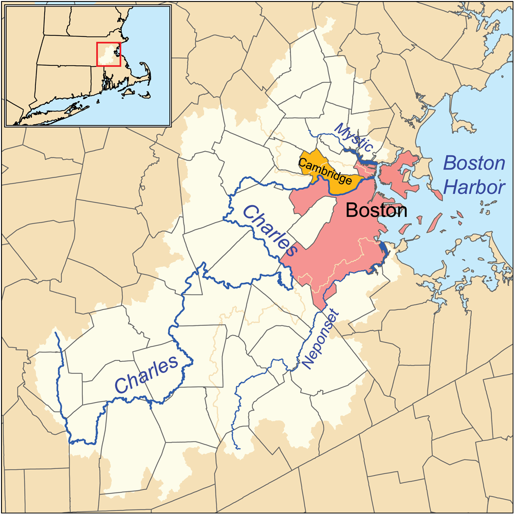
| 22:34, 23 January 2007 |  | 500 × 500 (166 KB) | Kmusser | This is a map of the Charles, Mystic, and Neponset watersheds. I, Karl Musser, created it based on USGS and [[:en:United States Census Bureau|Census Burea |
The following other wikis use this file: