

Fuld opløsning (SVG fil, basisstørrelse 1.574 × 1.738 pixels, filstørrelse: 836 KB)
| | Denne fil er fra Wikimedia Commons. Beskrivelsen af filen fra Commons er gengivet nedenfor. |
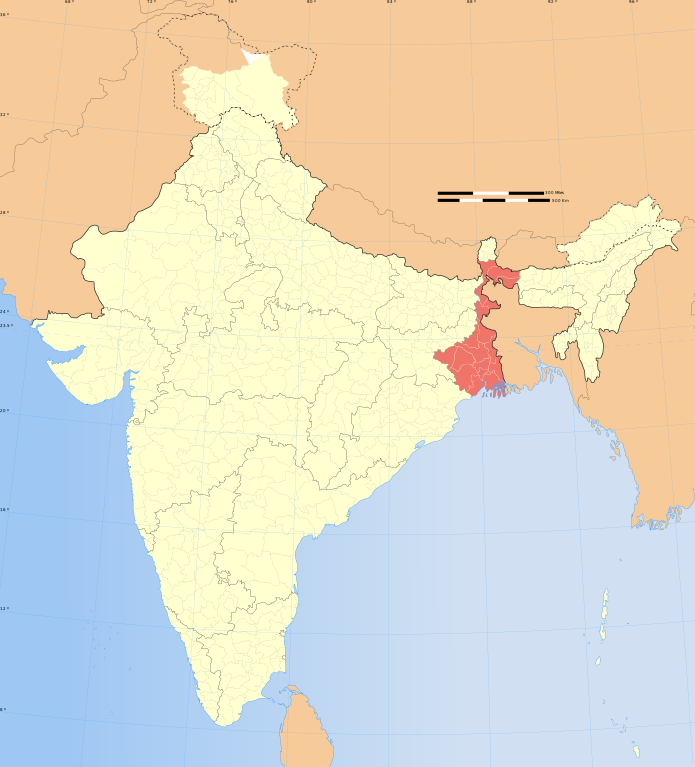
| Titel | West Bengal locator map | |||||||||
| BeskrivelseIndia West Bengal locator map.svg | Locator map of the state of West Bengal, India with district boundaries | |||||||||
| Map legend |  | |||||||||
| Dato | ||||||||||
| Kilde | Eget arbejde | |||||||||
| Skaber |
| |||||||||
| Tilladelse (Genbrug af denne fil) | Jeg, dette værks ophavsretsindehaver, publicerer hermed værket under den følgende licens: Denne fil er udgivet under Creative Commons Kreditering-Del på samme vilkår 3.0 Ikke-porteret-licensen.
| |||||||||
| Geotemporal data | ||||||||||
| Dato afbildet | 2. halvdel af 20. århundrede og 21. århundrede | |||||||||
| Spatial reference system | conic | |||||||||
| Bounding box |
| |||||||||
| Georeferencing | Georeference the map in Wikimaps Warper If inappropriate please set warp_status = skip to hide. | |||||||||
| Archival data | ||||||||||
| Noter | Part of WikiProject India Maps | |||||||||
| Andre versioner |
| |||||||||


The depicted extent of the former territory of the British Indian Empire, succeeded by Republic of India, may not be accepted by few countries as legal due to ongoing border disputes:
For a detailed map of all disputed regions in South Asia, see Image:India disputed areas map.svg
The borders of the state of Meghalaya, Assam and Arunachal Pradesh are shown as interpreted from the North-Eastern Areas (Reorganisation) Act, 1971, but has yet to be verified.
The limit of the territorial waters of India extends to twelve nautical miles measured from the appropriate baseline. See this for more information.
Klik på en dato/tid for at se filen som den så ud på det tidspunkt.
| Dato/tid | Miniaturebillede | Dimensioner | Bruger | Kommentar | |
|---|---|---|---|---|---|
| nuværende | 29. dec. 2008, 09:10 | | 1.574 × 1.738 (836 KB) | Planemad | {{Information |Description= |Source= |Date= |Author= |Permission= |other_versions= }} |
| 8. okt. 2006, 18:45 |  | 1.639 × 1.852 (798 KB) | Planemad | ||
| 6. aug. 2006, 20:49 |  | 1.639 × 1.852 (751 KB) | Planemad | {{WikiProject_India_Maps |Title=West Bengal locator map |Description=Locator map of the state of West Bengal, India with district boundaries |Source=. |Date=August 6 2006 |Author=w:user:Nichalpw:user:Planemad |Thumbdir=0/04 }} |
Den følgende side bruger denne fil:
Følgende andre wikier anvender denne fil:
Vis flere globale anvendelser af denne fil.

