Payl:Map of Wyoming highlighting Goshen County.svg

Size of this PNG preview of this SVG file: 783 x 599 ka mga piksel. Uban pang mga resoluyon: 314 x 240 ka mga piksel | 627 x 480 ka mga piksel | 1,003 x 768 ka mga piksel | 1,280 x 980 ka mga piksel | 2,560 x 1,960 ka mga piksel | 1,471 x 1,126 ka mga piksel.
Tibuok resolusyon (SVG nga payl, nominally 1,471 × 1,126 pixels, size sa payl: 23 KB)
Mubong sugid:
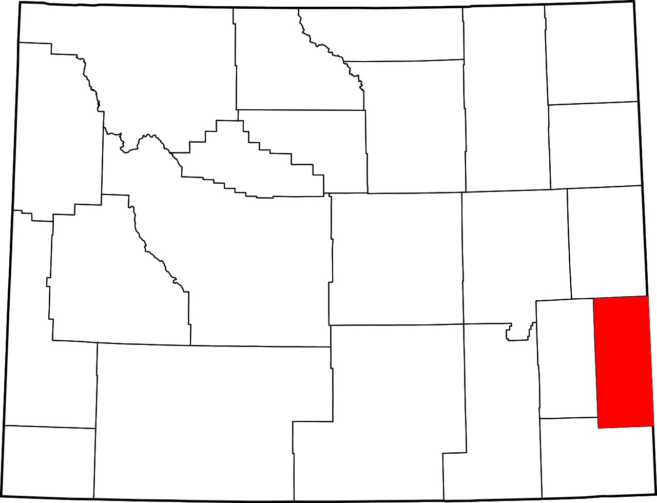
| Deskripsyon | English: This is a locator map showing Goshen County in Wyoming. For more information, see Commons:United States county locator maps. |
| Petsa | |
| Gigikanan | Kaugalingong trabaho: English: The maps use data from nationalatlas.gov, specifically countyp020.tar.gz on the Raw Data Download page. The maps also use state outline data from statesp020.tar.gz. The Florida maps use hydrogm020.tar.gz to display Lake Okeechobee. |
| Tagsulat | David Benbennick |
Pagtugot
| I, the copyright holder of this work, release this work into the public domain. This applies worldwide. In some countries this may not be legally possible; if so: I grant anyone the right to use this work for any purpose, without any conditions, unless such conditions are required by law. |
Kaagi sa payl
I-klik ang petsa/oras aron makit-an ang hulagway sa payl niadtong panahona.
| Petsa/Takna | Thumbnail | Mga dimensyon | Tiggamit | Komento | |
|---|---|---|---|---|---|
| kasamtangan | 11:01, 25 Hunyo 2024 | | 1,471 × 1,126 (23 KB) | Nux | fix rendering (remove clipping) |
| 06:52, 24 Hunyo 2024 |  | 5,883 × 4,504 (26 KB) | Mdann52 | Upload new file to correct SVG issue | |
| 18:24, 12 Pebrero 2006 |  | 5,883 × 4,504 (26 KB) | David Benbennick | {{subst:User:Dbenbenn/clm|county=Goshen County|state=Wyoming|type=county}} |
Mga paggamit sa payl
Ang mosunod nga mga panid misumpay niining payl:
Global nga paggamit sa payl
Kining ubang wiki naggamit ning maong payl:
- Paggamit sa ar.wikipedia.org
- Paggamit sa bg.wikipedia.org
- Paggamit sa bpy.wikipedia.org
- Paggamit sa ca.wikipedia.org
- Paggamit sa cdo.wikipedia.org
- Paggamit sa ce.wikipedia.org
- Paggamit sa cy.wikipedia.org
- Paggamit sa de.wikipedia.org
- Paggamit sa en.wikipedia.org
- List of counties in Wyoming
- Goshen County, Wyoming
- Fort Laramie, Wyoming
- Hawk Springs, Wyoming
- Huntley, Wyoming
- LaGrange, Wyoming
- Lingle, Wyoming
- Torrington, Wyoming
- Veteran, Wyoming
- Yoder, Wyoming
- Template:Goshen County, Wyoming
- User:Nyttend/County templates/WY
- Jay Em, Wyoming
- United States Post Office (Torrington, Wyoming)
- National Register of Historic Places listings in Goshen County, Wyoming
- Jay Em Historic District
- Template:NRHP in Goshen County, Wyoming
- Fort Laramie Three-Mile Hog Ranch
- South Torrington station
- Category:Populated places in Goshen County, Wyoming
- User:AridCeption/sandbox
- File talk:Map of Wyoming highlighting Goshen County.svg
- Paggamit sa es.wikipedia.org
View more global usage of this file.
Metadata
🔥 Top keywords: Unang PanidPorn hubBenton County (kondado sa Tinipong Bansa, Washington)Galatás (lungsod sa Gresya, Crete)WikipedyaIkaduhang Gubat KalibotanonTübingen (munisipyo)Espesyal:PangitaEspesyal:Bag-ongGiusabWikipedia:Mga pagpasabotPornograpiyaCerro El ConoWikipedia:TubaanContactCerro El Cono (bukid sa Peru)RosaryoEspesyal:AkongHisgotWikipedya:TabangTabang:Mga sulodUniversitätTübingen RegionWikipedia:Mahitungod sa WikipedyaMananapDelonix regiaLandkreis TübingenWikipedia:Maayong pag-abot, higala!San Clemente Island (pulo sa Tinipong Bansa, California, Los Angeles County)Marco AntonioWikipedia:Talaan sa sulodTübingen (kapital sa distrito nga gobyerno)Harpalus rufipesMount ManiWikipedia:Mga panghitaboWill SmithTraci LordsGajraj Bahadur NagarPornhubKevin CostnerJohnny Depp