

Tibuok resolusyon (SVG nga payl, nominally 891 × 1,113 pixels, size sa payl: 52 KB)
Kining maong payl gikan sa Wikimedia Commons ug mahimong gigamit sa ubang proyekto.Ang deskripsyon niini didto gipakita sa ubos.
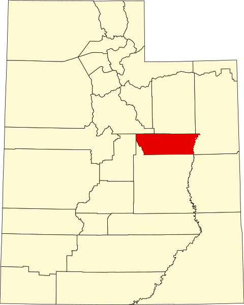
| DeskripsyonMap of Utah highlighting Carbon County.svg | English: This is a locator map showing Carbon County in Utah. For more information, see Commons:United States county locator maps. |
| Petsa | |
| Gigikanan | Kaugalingong trabaho: English: The maps use data from nationalatlas.gov, specifically countyp020.tar.gz on the Raw Data Download page. The maps also use state outline data from statesp020.tar.gz. The Florida maps use hydrogm020.tar.gz to display Lake Okeechobee. |
| Tagsulat | David Benbennick |
| Public domainPublic domainfalsefalse |
| I, the copyright holder of this work, release this work into the public domain. This applies worldwide. In some countries this may not be legally possible; if so: I grant anyone the right to use this work for any purpose, without any conditions, unless such conditions are required by law. |
I-klik ang petsa/oras aron makit-an ang hulagway sa payl niadtong panahona.
| Petsa/Takna | Thumbnail | Mga dimensyon | Tiggamit | Komento | |
|---|---|---|---|---|---|
| kasamtangan | 22:21, 24 Hunyo 2024 | | 891 × 1,113 (52 KB) | Nux | fix rendering (remove clipping) |
| 17:34, 12 Pebrero 2006 |  | 4,457 × 5,566 (56 KB) | David Benbennick | {{subst:User:Dbenbenn/clm|county=Carbon County|state=Utah|type=county}} |
Ang mosunod nga mga panid misumpay niining payl:
Kining ubang wiki naggamit ning maong payl:
View more global usage of this file.
Ang kining payl adunay dugang nga impormasyon, mahimong nadugang gikan sa digital camera o scanner nga gigamit sa paghimo o pag-digitize niini.
Kon ang payl namodipikar gikan sa orihinal nga estado, ang ubang detalye mamahimong dili moreplek sa namodipikar nga payl.
| Width | 891.36 |
|---|---|
| Height | 1113.28 |