Payl:Map of Oklahoma highlighting Roger Mills County.svg

Size of this PNG preview of this SVG file: 800 x 397 ka mga piksel. Uban pang mga resoluyon: 320 x 159 ka mga piksel | 640 x 317 ka mga piksel | 1,024 x 508 ka mga piksel | 1,280 x 634 ka mga piksel | 2,560 x 1,269 ka mga piksel | 2,209 x 1,095 ka mga piksel.
Tibuok resolusyon (SVG nga payl, nominally 2,209 × 1,095 pixels, size sa payl: 47 KB)
Mubong sugid:
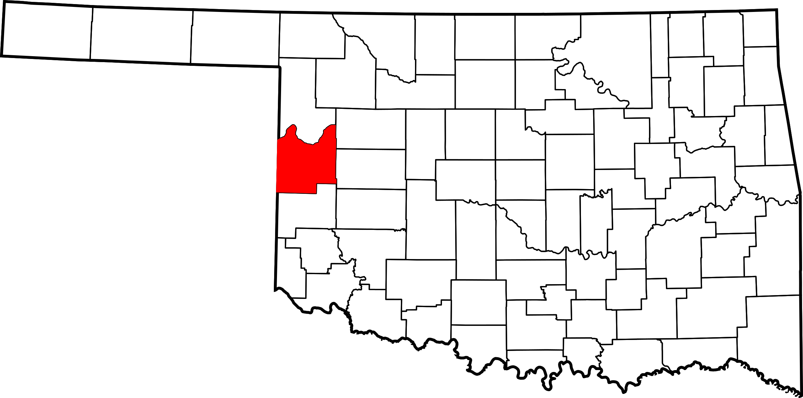
| Deskripsyon | Locator map of Roger Mills County — in Oklahoma.
|
| Petsa | 12 Pebrero 2006 (original upload date) |
| Gigikanan | No machine-readable source provided. Own work assumed (based on copyright claims). |
| Tagsulat | No machine-readable author provided. David Benbennick assumed (based on copyright claims). |
Pagtugot
| I, the copyright holder of this work, release this work into the public domain. This applies worldwide. In some countries this may not be legally possible; if so: I grant anyone the right to use this work for any purpose, without any conditions, unless such conditions are required by law. |
Kaagi sa payl
I-klik ang petsa/oras aron makit-an ang hulagway sa payl niadtong panahona.
| Petsa/Takna | Thumbnail | Mga dimensyon | Tiggamit | Komento | |
|---|---|---|---|---|---|
| kasamtangan | 00:54, 25 Hunyo 2024 | | 2,209 × 1,095 (47 KB) | Nux | fix rendering (remove clipping) |
| 16:15, 12 Pebrero 2006 |  | 7,730 × 3,832 (57 KB) | David Benbennick | {{subst:User:Dbenbenn/clm|county=Roger Mills County|state=Oklahoma|type=county}} |
Mga paggamit sa payl
Ang mosunod nga mga panid misumpay niining payl:
Global nga paggamit sa payl
Kining ubang wiki naggamit ning maong payl:
- Paggamit sa ar.wikipedia.org
- Paggamit sa bg.wikipedia.org
- Paggamit sa bpy.wikipedia.org
- Paggamit sa ca.wikipedia.org
- Paggamit sa cdo.wikipedia.org
- Paggamit sa cy.wikipedia.org
- Paggamit sa de.wikipedia.org
- Paggamit sa en.wikipedia.org
- List of counties in Oklahoma
- Roger Mills County, Oklahoma
- Cheyenne, Oklahoma
- Reydon, Oklahoma
- Strong City, Oklahoma
- Hammon, Oklahoma
- Sweetwater, Oklahoma
- Crawford, Oklahoma
- Durham, Oklahoma
- Berlin, Oklahoma
- Roll, Oklahoma
- Template:Roger Mills County, Oklahoma
- User:Nyttend/County templates/OK
- National Register of Historic Places listings in Roger Mills County, Oklahoma
- Carpenter, Oklahoma
- Category:Populated places in Roger Mills County, Oklahoma
- Grimes, Oklahoma
- Rankin, Oklahoma
- Paggamit sa es.wikipedia.org
- Paggamit sa eu.wikipedia.org
- Paggamit sa fa.wikipedia.org
View more global usage of this file.
Metadata
🔥 Top keywords: Unang PanidPorn hubKategoriyaEspesyal:PangitaTabang:Mga sulodWikipedia:Mga pagpasabotIkaduhang Gubat KalibotanonPornograpiyaEspesyal:Bag-ongGiusabWikipedia:TubaanGajraj Bahadur NagarRío PichiloEspesyal:AkongHisgotContactTabangQáqaqWikipedyaWikipedia:Mahitungod sa WikipedyaRosaryoWikipedia:Maayong pag-abot, higala!DindoriRepublika sa KonggoWikipedya:TabangPornhubWikipedia:Talaan sa sulodTuaiWikipedia:Mga panghitabo800Passer melanurusParthenocissus vitaceaTraci LordsCadmiumFulton County (kondado sa Tinipong Bansa, New York)Gobolka Woqooyi GalbeedAnimasyonNaked BoyNeauphle-le-VieuxFutai-damuPakighilawas