

الملف الأصلي (ملف SVG، أبعاده 700 × 650 بكسل، حجم الملف: 112 كيلوبايت)
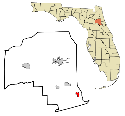
| الوصفPutnam County Florida Incorporated and Unincorporated areas Crescent City Highlighted.svg | This map shows the incorporated and unincorporated areas in Putnam County, Florida, highlighting Crescent City in red. It was created with a custom script with US Census Bureau data and modified with Inkscape. |
| التاريخ | |
| المصدر | My own work, based on public domain information. Based on similar map concepts by Ixnayonthetimmay |
| المؤلف | Arkyan |
 | يسمح نسخ وتوزيع و/أو تعديل هذه الوثيقة تحت شروط رخصة جنو للوثائق الحرة، الإصدار 1.2 أو أي إصدار لاحق تنشره مؤسسة البرمجيات الحرة؛ دون أقسام ثابتة ودون نصوص أغلفة أمامية ودون نصوص أغلفة خلفية. نسخة من الرخصة تم تضمينها في القسم المسمى GNU Free Documentation License.http://www.gnu.org/copyleft/fdl.htmlGFDLGNU Free Documentation Licensetruetrue |
| هذا الملفُّ مُرخَّص بموجب رخصة المشاع الإبداعي نسبة المُصنَّف إِلى مُؤَلِّفه - المشاركة بالمثل 3.0 العامة | ||
| ||
| تمت إضافة علامة الترخيص لهذا الملف كجزء من رخصة جنو للوثائق الحرة تحديث الترخيص.http://creativecommons.org/licenses/by-sa/3.0/CC BY-SA 3.0Creative Commons Attribution-Share Alike 3.0truetrue |
اضغط على زمن/تاريخ لرؤية الملف كما بدا في هذا الزمن.
| زمن/تاريخ | صورة مصغرة | الأبعاد | مستخدم | تعليق | |
|---|---|---|---|---|---|
| حالي | 15:35، 5 سبتمبر 2007 | | 700 × 650 (112 كيلوبايت) | ArkyBot~commonswiki | {{Information |Description=This map shows the incorporated and unincorporated areas in Putnam County, Florida, highlighting Crescent City in red. It was |
الصفحة التالية تستخدم هذا الملف:
الويكيات الأخرى التالية تستخدم هذا الملف:
.svg)